Third Grade Standards Overview
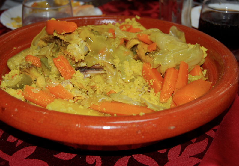
World Geography and Cultures
World Geography and Cultures
Important Note: The purpose of each powerpoint presentation is to provide the teacher with a better understanding for each of the standards. Whereas much of the material in each powerpoint can be used in the classroom, not all of the material is intended to be used by students, but instead to be possibly adapted by the teacher for classroom use.
Geography
|
North America
|
South America
| ||||||||||||||||||

Europe
|
Africa
|

Australia
| ||||||||||||||||||
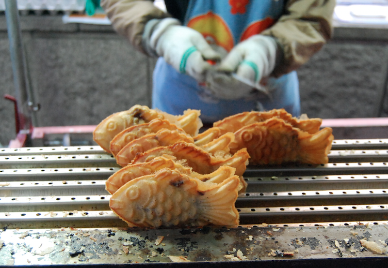
Asia
|

Antarctica
Additional Resources
|
Middle East
Third Grade Standards
| ||||||||||||||||
Note: The original PowerPoints were created in Mac's Keynote. As a result there are some slight formatting differences on the PowerPoint versions of the presentations.
USEFUL WEBSITES
Third Grade Standards: www.tn.gov/education/standards/index.shtml
USA Cities Data - www.city-data.com
Twitter & World Cup Soccer - sports.yahoo.com/blogs/soccer-dirty-tackle/twitter-lights-up-worldwide-with-every-world-cup-goal-185246136.html
Population Reference Bureau - www.prb.org
Daily Satellite Photo - www.overv.eu
Religious Statistics - religions.pewforum.org - www.thearda.com
Zip Code Descriptions - www.esri.com/data/esri_data/ziptapestry
World Development - www.gapminder.org
Download Videos from Youtube - savefrom.net
Census Data - www.census.gov
Mapping 2010 Census Data - projects.nytimes.com/census/2010/map
Germany Information - www.goethe.de/ins/us/lp/prj/top/enindex.htm
Outline Maps - www.eduplace.com/ss/maps
Rich and Poor US Counties - storymaps.esri.com/stories/richpoor_embed
Where is My Milk From - whereismymilkfrom.com
Animated Atlas of the United States - www.animatedatlas.com/movie.html
USA Climate Statistics - www.usclimatedata.com
USA Migration - www.forbes.com/special-report/2011/migration.html
USDA Agriculture Maps - www.nass.usda.gov/Charts_and_Maps
USA Economic Maps - clustermapping.us
USA Presidential Election Atlas - atlas.esri.com/Atlas/VoterAtlas.html
USA Immigration Maps - www.nytimes.com/interactive/2009/03/10/us/20090310-immigration-explorer.html?_r=0
USA Census Ancestry PDF - www.census.gov/population/www/cen2000/censusatlas/pdf/9_Ancestry.pdf
USA and Mexico Border - apps.npr.org/borderland
USA Foreign-born Workers - www.nytimes.com/interactive/2009/04/07/us/20090407-immigration-occupation.html
9/11 - www.wherewereyouon911.com
Map Fight - mapfight.appspot.com
Twitter Languages - bigthink.com/strange-maps/539-vive-le-tweet-a-map-of-twitters-languages
Names - names.whitepages.com
Where Children Sleep - jamesmollison.com/books/where-children-sleep
International Waters Map - donutholes.ch
4th Grade Website Resources for Standards with Geography
4.5 Analyze the impact of exploration and settlement on the indigenous peoples and the environment, including military campaigns, Columbian Exchange, and European agricultural practices. (C, G)
http://www.pbslearningmedia.org/resource/midlit11.soc.splcol/the-columbian-exchange/
http://www.gilderlehrman.org/history-by-era/american-indians/essays/columbian-exchange
http://nationalhumanitiescenter.org/tserve/nattrans/ntecoindian/essays/columbian.htm
http://scholar.harvard.edu/files/nunn/files/nunn_qian_jep_2010.pdf
http://teachinghistory.org/history-content/ask-a-historian/25447
4.6 Create a graphic organizer identifying the five different countries (France, Spain, Portugal, England, and the Netherlands) that influenced different regions of the present United States at the time the New World was being explored, and describe how their influence can be traced to place names. (G)
http://franceusa.blogspot.com/2008/01/french-place-names-in-united-states.html
http://en.wikipedia.org/wiki/European_colonization_of_the_Americas
http://www.thirteen.org/dutchny/interactives/dutch-place-names-in-new-york-city
http://www.bartleby.com/185/50.html
4.19 Locate and label on a map the location of Jamestown, Plymouth, New Netherland, New Sweden, and the Massachusetts Bay Colony. (G)
http://www.historyglobe.com/jamestown
https://www.libraries.psu.edu/psul/digital/pahistory/folder_1.html
http://www.plimoth.org/learn
http://www.newnetherlandinstitute.org
http://books.google.com/books?id=sBswAAAAYAAJ&pg=PA1#v=onepage&q&f=false
4.52 Write a short story with supporting text describing the effects of the New Madrid Earthquakes of 1811-12 on the land and people of Tennessee. (G, H, TN)
http://www.dnr.mo.gov/geology/geosrv/geores/techbulletin1.htm
http://guardianlv.com/2014/01/worst-earthquake-horror-happened-in-new-madrid-fault/
http://earthquake.usgs.gov/earthquakes/states/events/1811-1812.php
http://stlouis.cbslocal.com/2014/02/06/the-new-madrid-fault-the-last-big-quake
http://www.memphis.edu/ceri/seismic
http://www.showme.net/~fkeller/quake/lib/eyewitness1.htm
4.66 Write an expository piece describing the search for gold in California and its impact. (C, E, G)
http://www.history.com/topics/gold-rush-of-1849
http://www.consrv.ca.gov/cgs/geologic_resources/gold/pages/index.aspx
http://www.ushistory.org/us/29e.asp
http://www.sfmuseum.org/hist2/gold.html
5th Grade Website Resources for Standards with Geography
5.26 Describe the impact of yellow fever during the 1870s; why it was particularly deadly in West Tennessee and the election of African Americans to the General Assembly. (G, H, TN)
http://www.dailykos.com/story/2011/05/15/976147/-How-regulation-came-to-be-The-Memphis-Yellow-Fever-Epidemic-Part-I
http://www.dailykos.com/story/2011/05/22/978181/-How-regulation-came-to-be-The-Memphis-Yellow-Fever-Epidemic-Part-II#
http://www.npr.org/templates/story/story.php?storyId=19241319
http://historic-memphis.com/memphis-historic/yellow-fever/yellow-fever.html
5.28 Map the sources of new immigration from Southern and Eastern Europe, China, and Japan, and interpret narratives and excerpts from informational text describing the role that Chinese and Irish laborers played in the development of the Transcontinental Railroad. (C, E, G, H)
http://cprr.org/Museum/Chinese.html
http://www.pbs.org/wgbh/americanexperience/features/general-article/tcrr-cprr/
http://www.pbs.org/wgbh/americanexperience/features/general-article/tcrr-strike/
http://apa.si.edu/ongoldmountain/gallery2/gallery2.html
http://immigrants.harpweek.com/ChineseAmericans/1Introduction/BillWeiIntro.htm
http://www.cetel.org/timeline.html
http://chsa.org
5.33 Write a short piece with concrete words, phrases, and sensory details of the life on the Great Plains from the viewpoint of a particular immigrant or migrant group. (C, G, H)
http://www.livinghistoryfarm.org/farminginthe30s/life_30.html
http://www.emporia.edu/cgps/tales/j88tales.html
http://memory.loc.gov/ammem/award97/ndfahtml/hult_sod.html
http://theautry.org/explore/exhibits/sod/daily.html
http://www.eduplace.com/ss/socsci/books/content/ilessons/5/ils_gr5a_u7_c14_l2.pdf
http://amhistory.si.edu/ourstory/activities/sodhouse
Currently: http://usatoday30.usatoday.com/news/nation/2007-08-12-great-plains_N.htm
5.43 Locate and map the countries of the Central and Allied Powers during World War I. (G)
https://www.mtholyoke.edu/~raina20s/ww1/play.html
http://www.kidzworld.com/article/5701-overview-of-world-war-i
http://www.bbc.co.uk/history/worldwars/wwone/summary_01.shtml
5.51 Compare and contrast a first hand and second hand account of the impact of the Dust Bowl of the 1930s. (E, G, C)
http://www.pbs.org/kenburns/dustbowl/bios
http://www.activeagingonline.com/Articles/general/Dust%20Bowl%20Stories%20(April%202010).html
http://www.pbs.org/kenburns/dustbowl/photos
http://www.weru.ksu.edu/new_weru/multimedia/dustbowl/dustbowlpics.html
http://www.historyplace.com/unitedstates/lange/
5.55 Locate the Axis and Allied Powers and the major theaters of war on a map. (G)
http://www.worldology.com/Europe/world_war_2_imap.htm
http://www.ushmm.org/wlc/en/article.php?ModuleId=10005177
5.61 Identify the reasons for the growth of suburbs, home ownership, mass media, Interstate Highway System, and a consumer society after the war. (C, E, G)
https://www.fhwa.dot.gov/interstate/history.htm
http://www.ushistoryscene.com/uncategorized/levittown/
http://www.nps.gov/NR/publications/bulletins/suburbs/index.htm
Lesson Plan for 4th Grade: 4.5 Analyze the impact of exploration and settlement on the indigenous peoples and the environment, including military campaigns, Columbian Exchange, and European agricultural practices. (C, G)
| Columbian Exchange Lesson Plan.pptx |
Lesson Plan for Fifth Grade: 5.28 Map the sources of new immigration from Southern and Eastern Europe, China, and Japan.
| 5th_usa_immigration_maps.pptx |
